Dewiswch eich iaith
Please select your language preference
Hoffwn weld y wefan yn Gymraeg
Parhau yn y Gymraeg
Gallwch newid iaith unrhyw bryd
I would like to view the website in English
Continue in English
You can switch language anytime
Cymraeg
(
Welsh
)
English
Park Authority
Planning & Development
Yr Ysgwrn
Discover
Discover
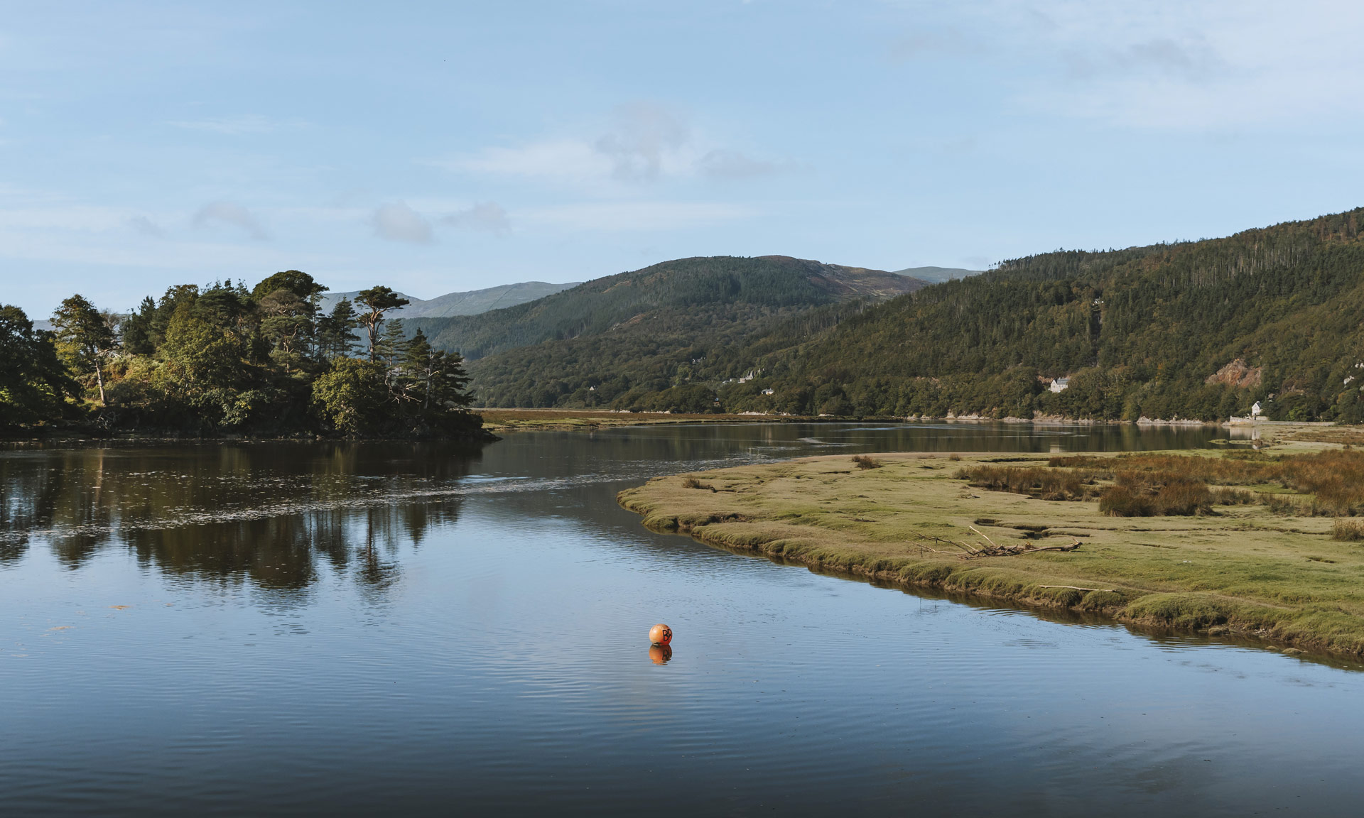
Eryri's endless landscape is home to a wealth of treasures to discover and enjoy.
Discover
Landscapes and Wildlife
History and Heritage
Culture, Language and Community
Events
Eryri Podcast
Protect
Protect
We can all play a part in protecting Eryri for generations to come.
Protect
Challenges
Conservation Work
Volunteer
National Park Wardens
Young Rangers Scheme
Eryri Ambassador Scheme
Caru Eryri
Visit
Visit
Get the most out of your visit to Eryri by planning ahead
Visit
Plan your Visit
Yr Wyddfa
Llyn Tegid
Ogwen
Walks and Routes
Visiting Guides
Access for all
Plas Tan y Bwlch
Eryri Publication 2023-24
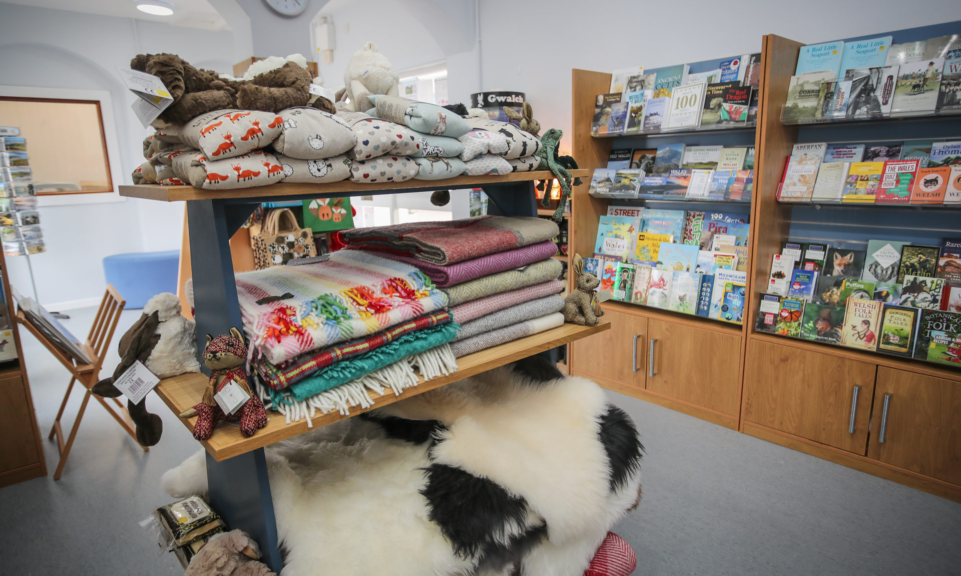
Shop
Search
Map
Discover
Protect
Visit
Shop
Language
Cymraeg
(
Welsh
)
English
Park Authority
Planning & Development
Yr Ysgwrn
Return
Discover
Eryri's endless landscape is home to a wealth of treasures to discover and enjoy.
Discover
Landscapes and Wildlife
History and Heritage
Culture, Language and Community
Events
Eryri Podcast
Protect
We can all play a part in protecting Eryri for generations to come.
Protect
Challenges
Conservation Work
Volunteer
National Park Wardens
Young Rangers Scheme
Eryri Ambassador Scheme
Caru Eryri
Visit
Get the most out of your visit to Eryri by planning ahead
Visit
Plan your Visit
Yr Wyddfa
Llyn Tegid
Ogwen
Walks and Routes
Visiting Guides
Access for all
Plas Tan y Bwlch
Eryri Publication 2023-24
Close
Search
total results for
result for
National Park
0
Sorry - no results were found for
Try one of our suggested links below:
Shop
Categories
Show All
Maps
Ordnance Survey Maps
Snowdon Maps
Cader Idris Maps
Northern Snowdonia
Southern Snowdonia
Wales Coastal Path
Road Maps
Gifts and Souvenirs
Map-based Gifts
National Park Products
Books & Guides
Walking Guides
Learn Welsh
Myths, Legends and Folk Tales
Children's Books
Search by product name
Categories
Categories
Show All
Maps
Ordnance Survey Maps
Snowdon Maps
Cader Idris Maps
Northern Snowdonia
Southern Snowdonia
Wales Coastal Path
Road Maps
Gifts and Souvenirs
Map-based Gifts
National Park Products
Books & Guides
Walking Guides
Learn Welsh
Myths, Legends and Folk Tales
Children's Books
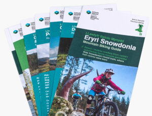
Mountain Biking Guide – Natural Resources Wales
£3.50
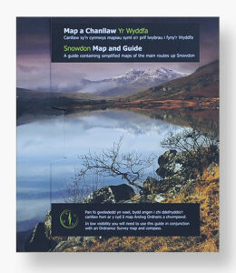
Yr Wyddfa (Snowdon) Map and Guide
£4.99
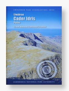
Cader Idris Paths
£2.00
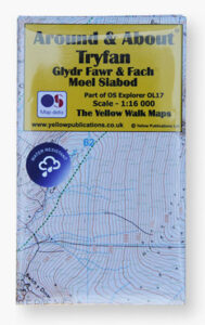
Around and About Map – Tryfan
£4.99
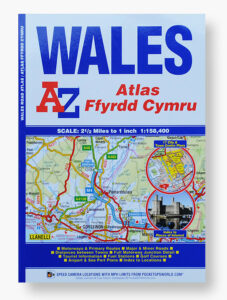
Wales Regional Road Atlas (A-Z Regional Road Atlas)
£7.99
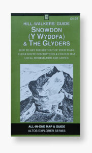
Altos Hill-Walkers Guide Snowdon & The Glyders
£4.95
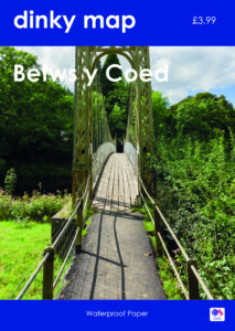
Dinky Map – Betws-y-Coed
£3.99
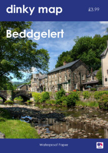
Dinky Map – Beddgelert
£3.99
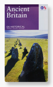
OS Historical – Ancient Britain
£6.99
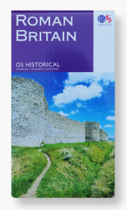
OS Historical – Roman Britain
£6.99
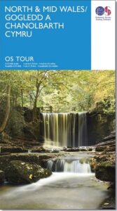
OS Tour Map – North & Mid Wales
£5.99
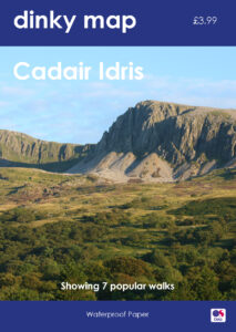
Dinky Map – Cadair Idris inc. Dolgellau
£3.99
3D Raised Relief Map of Yr Wyddfa (Snowdon)
£16.99
Laminated Contour Map – Yr Wyddfa (Snowdon)
£2.99
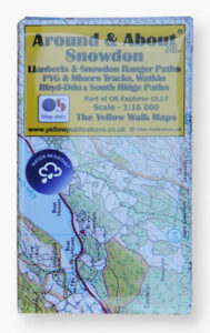
Around and About – Snowdon
£5.99
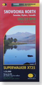
Harvey – XT25 Superwalker Snowdonia North
£14.50
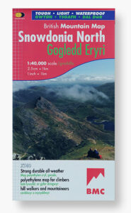
Harvey – BMC XT40 Snowdonia North
£15.95
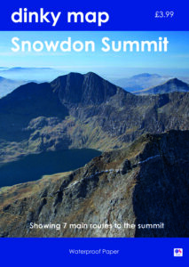
Dinky Map – Snowdon Summit
£3.99
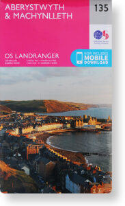
OS Landranger 135 – Aberystwyth & Machynlleth
£12.99
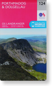
OS Landranger 124 – Porthmadog & Dolgellau
£12.99
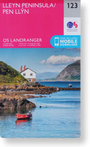
OS Landranger 123 – Llyn Peninsula
£12.99
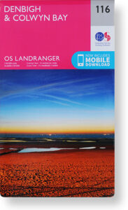
OS Landranger 116 – Denbigh & Colwyn Bay
£12.99
OS Landranger 114 – Anglesey
£12.99
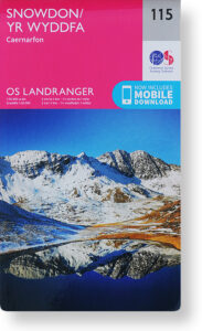
OS Landranger 115 – Yr Wyddfa / Snowdon
£12.99
1
2
Next