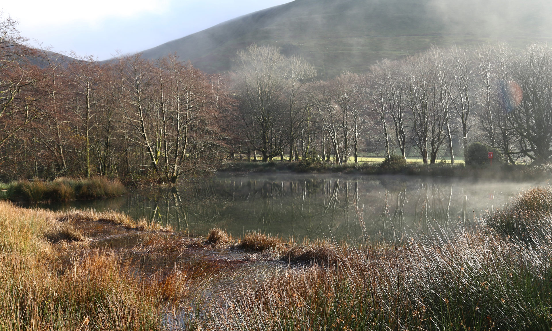


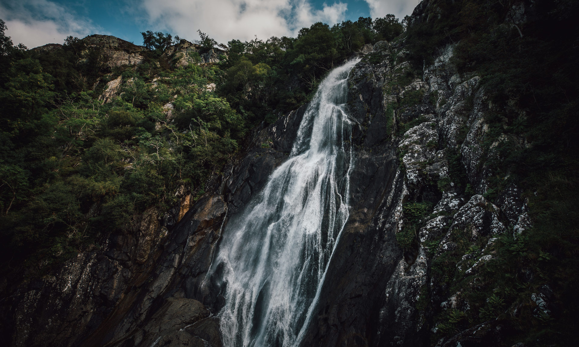
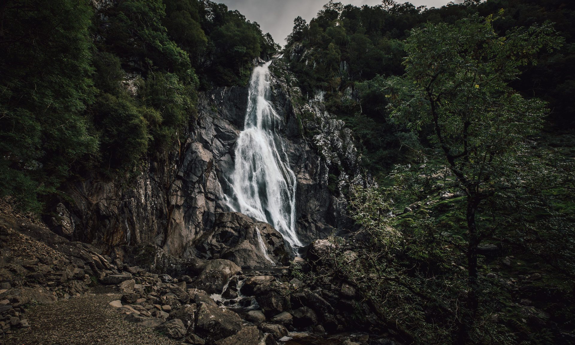
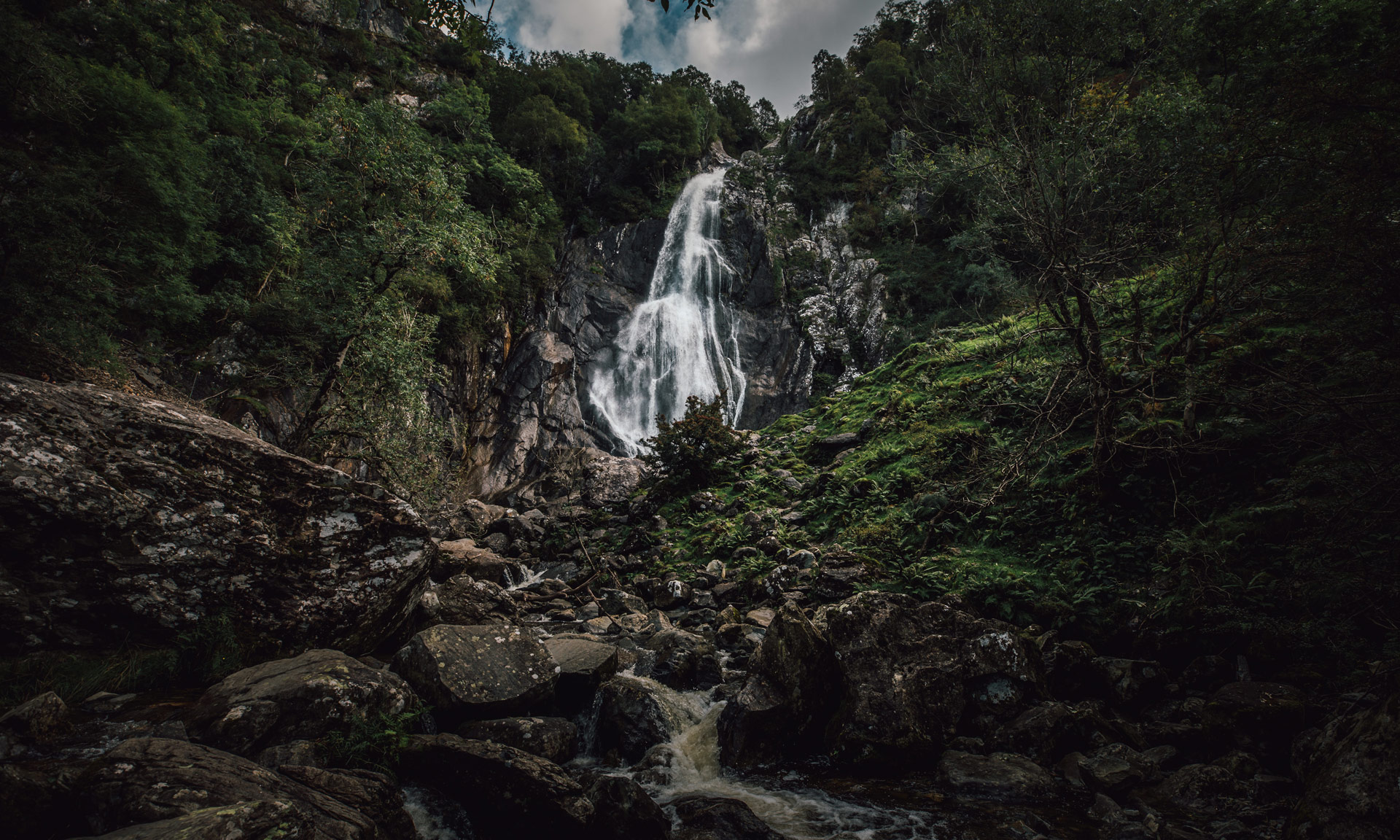
Aber Falls is one of Eryri’s most dramatic waterfalls. Situated at the northern foothills of the Carneddau, the waterfall is part of Afon Goch’s (Red River) final descent to the Menai Straits.
The river plummets dramatically from a height of 120 feet, crashing into a shallow rocky pool before continuing towards the village of Abergwyngregyn.
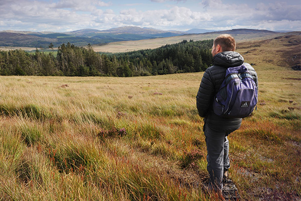
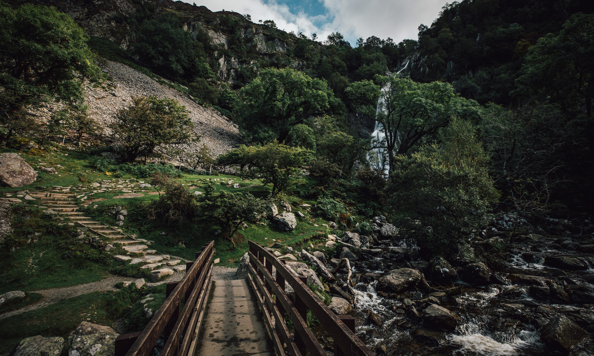
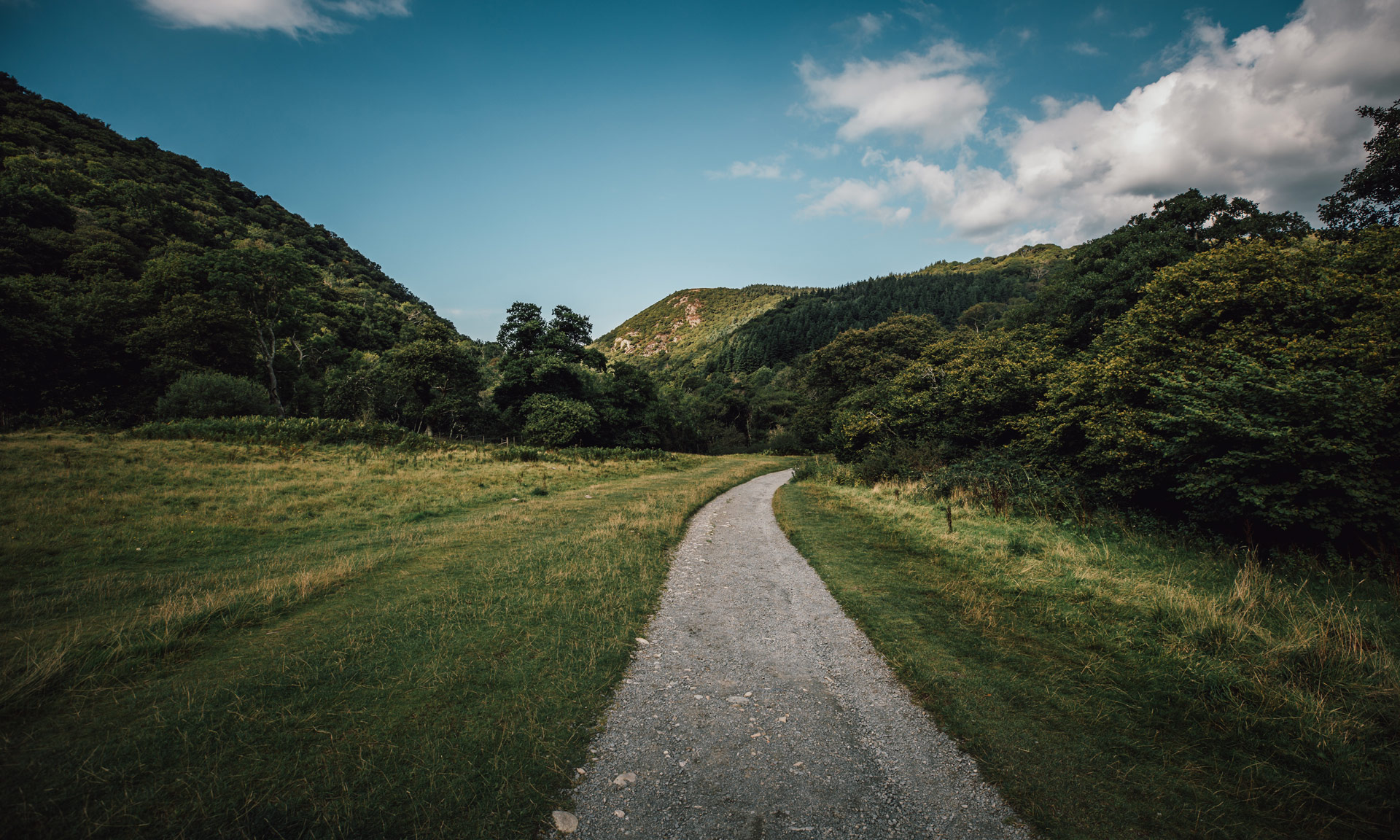
The wonder of Aber Falls is the fact that one of the National Park’s most impressive features can be so accessible to many. As one of the shortest walks on offer in Eryri, Aber Falls is an excellent option for those at the beginning of their journey to discover what makes Eryri so unique.
A stone’s throw away from the A55, Aber Falls is a fantastic option for those just arriving at the National Park.
The route offers many picnic areas with wide, open spaces perfect for families with young children.


© Crown copyright and database rights OS AC0000825604. Use of this data is subject to terms and conditions.
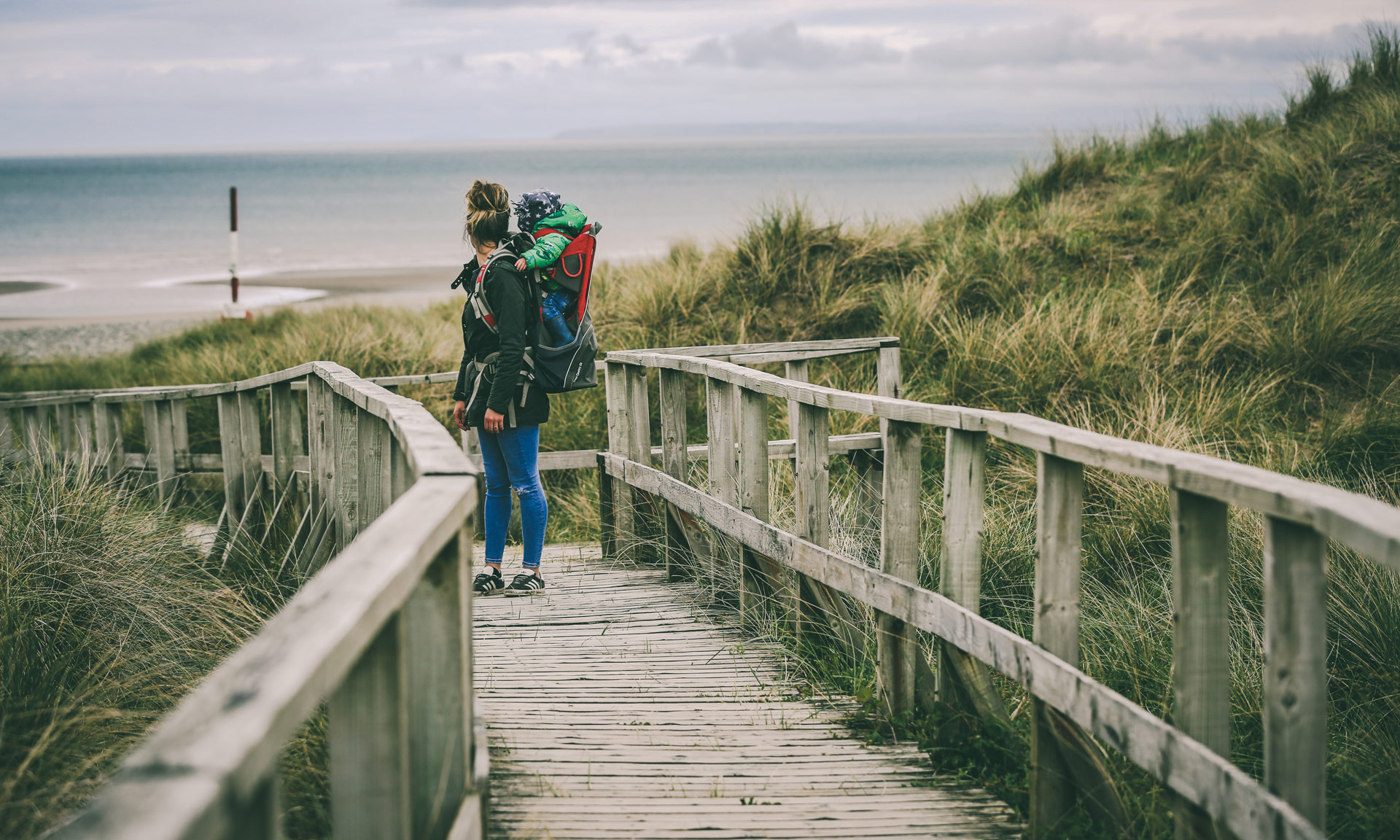
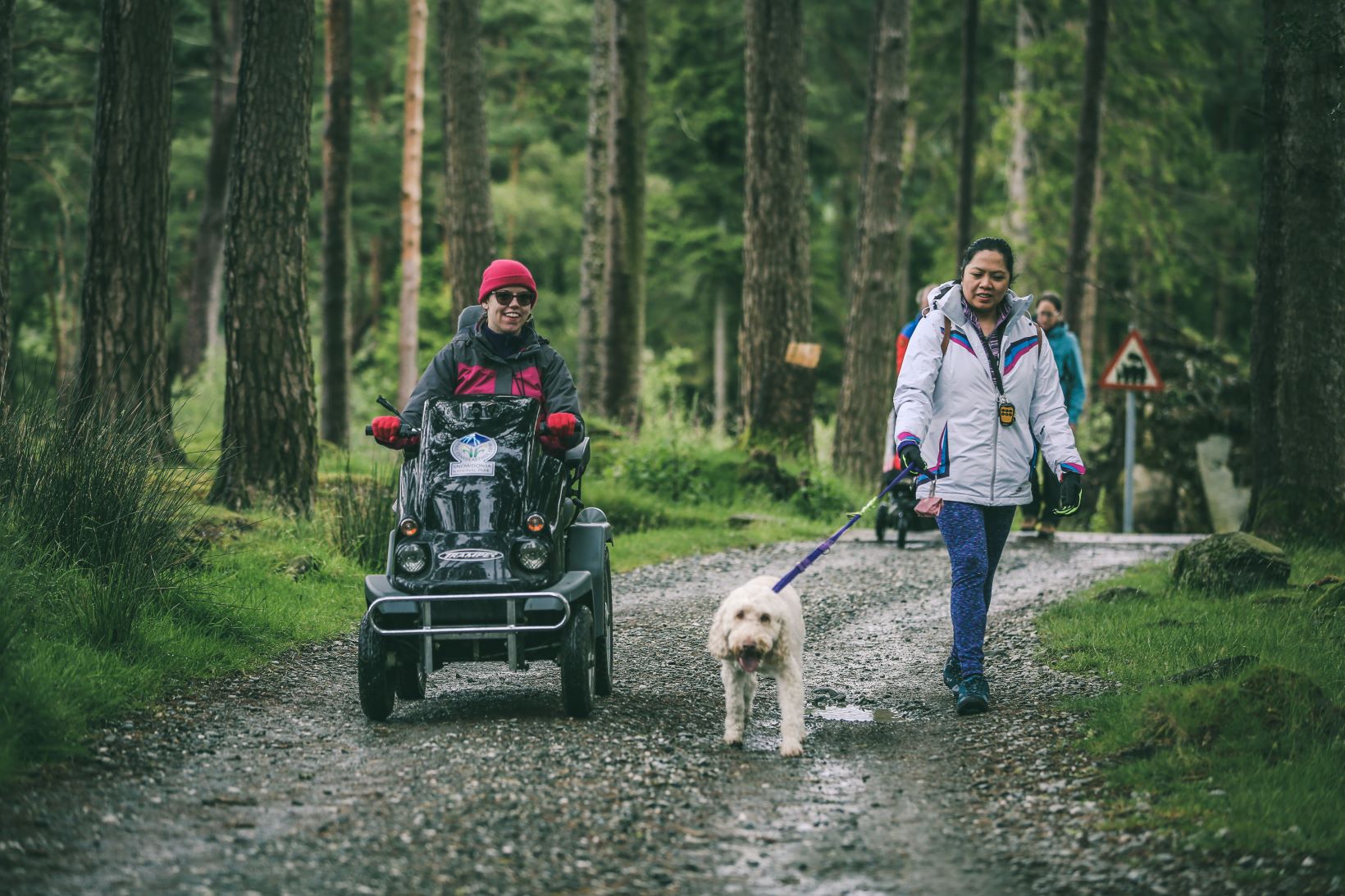
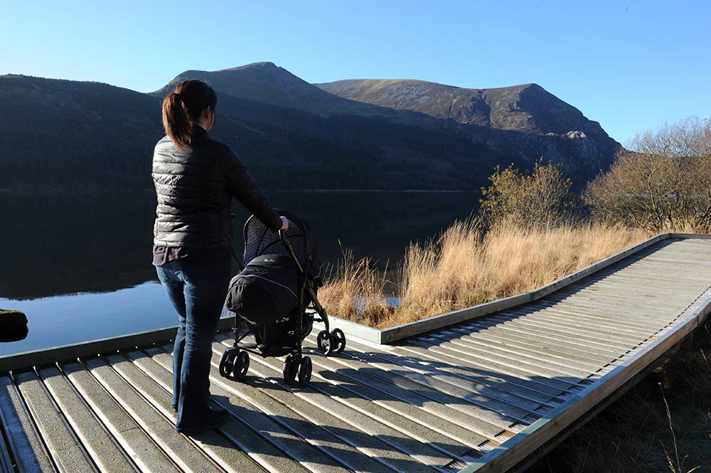
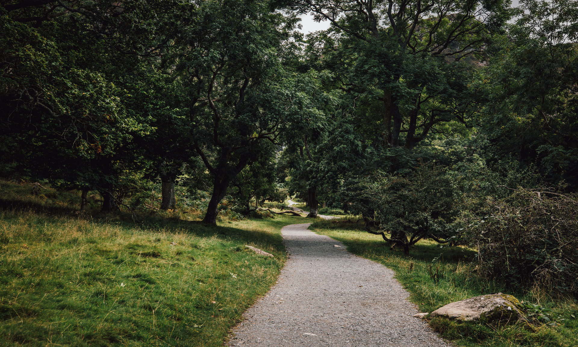
The National Park Authority has categorised the route as an ‘Easy’ route. This means that most of the route is suitable for people of all abilities, including those using conventional wheelchairs and pushchairs.
However, some sections towards the waterfall itself may be uneven or unsuitable for conventional wheelchairs or pushchairs. The path to the waterfall (starting from the gate near the lower car park) includes a steady climb of around 100m (330ft).
If you’re using a conventional wheelchair, please keep in mind that any downhill sections on the way to the waterfall will become uphill on the way back. Before going down a slope, think about whether you’ll be able to get back up it on the return journey.
Start / Finish
Aber Falls Car Park
Relevant OS Map
OS Explorer OL17 Yr Wyddfa (Yr Wyddfa and Conwy Valley)
Check the latest bus times on the Arriva Wales website.
Travel Notes
The North Wales Main Line passes close to Abergwyngregyn, with the nearest railway station approximately five km away in Llanfairfechan. During the AM and PM peak hours (Monday–Saturday), there is approximately one train per hour to Holyhead, which decreases to one train every two hours during the middle of the day. There is approximately one train per hour to Chester and Shrewsbury, with onward destinations including Cardiff, Manchester, and Birmingham.
From Llanfairfechan:
- During the day, buses between Llanfairfechan centre (approx. 10 minutes’ walk from the railway station) travel to Abergwyngregyn every 20 minutes, with a journey time of 6 minutes.
- There is a large pay-and-display car park (more than 100 spaces) at Llanfairfechan Promenade which is also approx. 10 minutes’ walk from bus stops serving routes to Abergwyngregyn.
From Bangor:
- During the day, buses between Bangor Bus Station (approx. 10 minutes’ walk from the railway station) travel to Abergwyngregyn every 20 minutes, with a journey time of 15 minutes.
- The large Menai Shopping Centre multi-storey car park (more than 400 spaces) is approx. 5 minutes’ walk from the bus station and costs £3 per day.
Always park in designated parking areas and never in places where you block entrances to fields or residential areas.
Upper Car Park
Owned by Natural Resources Wales
View on What 3 Words
View on Google Maps
Lower Car Park (near Bont Newydd)
Owned by Eryri National Park Authority
View on What 3 Words
View on Google Maps
Please note: There are two small car parks at the start of the Great Falls Walk. You have to drive through the village of Abergwyngregyn on a narrow road to get there.
These car parks fill up quickly, especially at weekends and during school holidays, causing congestion and long delays on busy days.
It is advisable to consider using the free car park before reaching the village of Abergwyngregyn. Turn off the A55 at Junction 13 signposted Abergwyngregyn. Follow the P signs to the free car park on the left rather than follow the road up through the village.
Useful information
- An accessible picnic table is located at the upper car park
- A large public toilet is located in the upper car park
- There are two options to start the route—one from the upper car park and another from the lower car park. The more accessible start is located at the lower car park.
- Some sections towards the waterfall itself may be uneven or unsuitable for conventional wheelchairs or pushchairs. The path to the waterfall (starting from the gate near the lower car park) includes a steady climb of around 100m (330ft). If you’re using a conventional wheelchair, please keep in mind that any downhill sections on the way to the waterfall will become uphill on the way back. Before going down a slope, think about whether you’ll be able to get back up it on the return journey.
- The route path is wide
- The path has a rough surface, some potholes and there are some steep stretches
- Wide gates can be opened with a RADAR key when locked
- Kissing gates on the trail are wide
- Those who use manual wheelchairs may experience greater difficulty than those who use an electric wheelchair
Stay safe and help protect the countryside by reading the information about safety and following the Countryside Code.

The Aber Falls area was an important dwelling place for the princes of Gwynedd. Nearby Abergwyngregyn used to be known as Aber Garth Celyn and was the seat of Llywelyn ap Gruffudd. Llywelyn is amongst the most famous of Welsh princes. He was known as ‘Llywelyn Ein Llyw Olaf’ (Llywelyn Our Last Leader) and was the last sovereign prince of Wales before Edward I’s conquest in 1282.
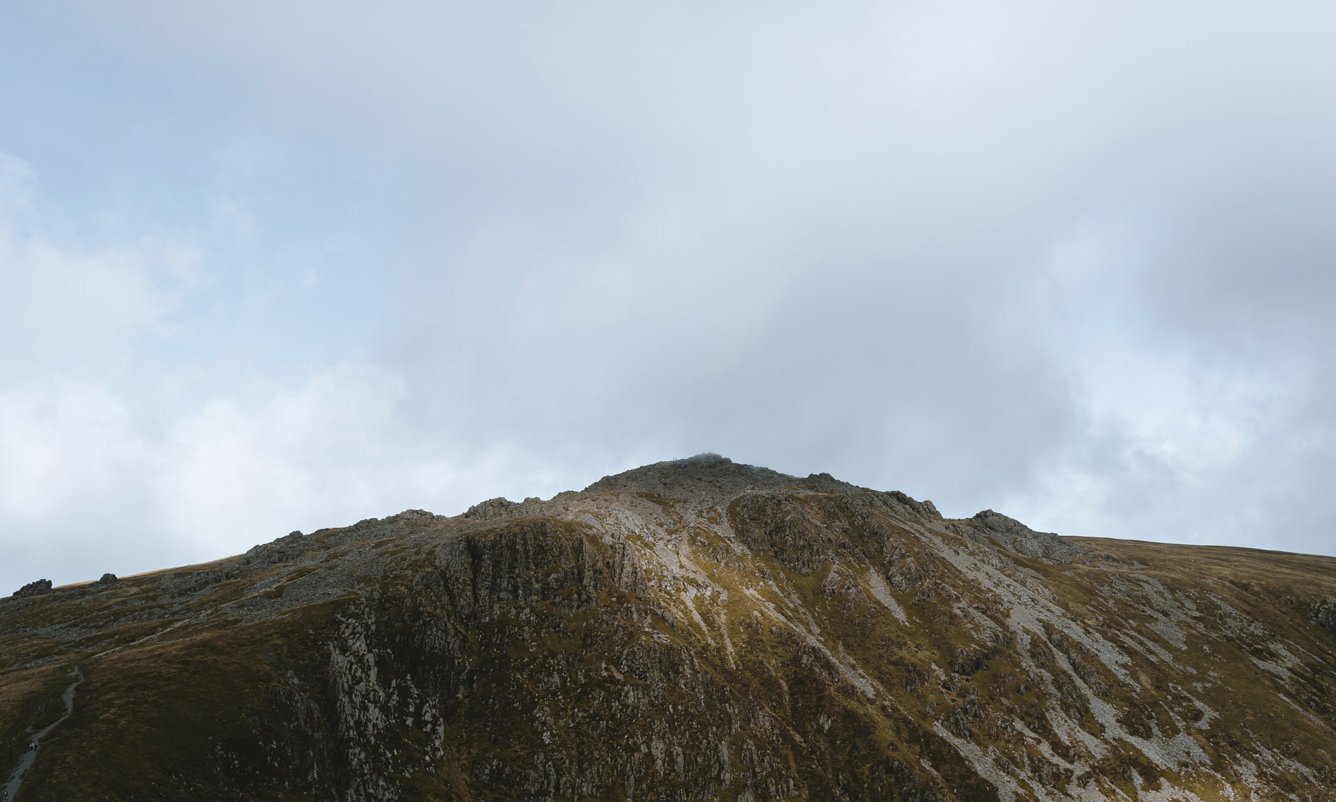
Aber Falls is located at the northern foothills of the Carneddau. The Carneddau is one of Eryri’s most fascinating mountain ranges. It is the largest uninterrupted area of land in the National Park, covering over 220sq/km. This mountain range has a wealth of special qualities from its wild free-roaming ponies to its fascinating Roman archaeological remains.
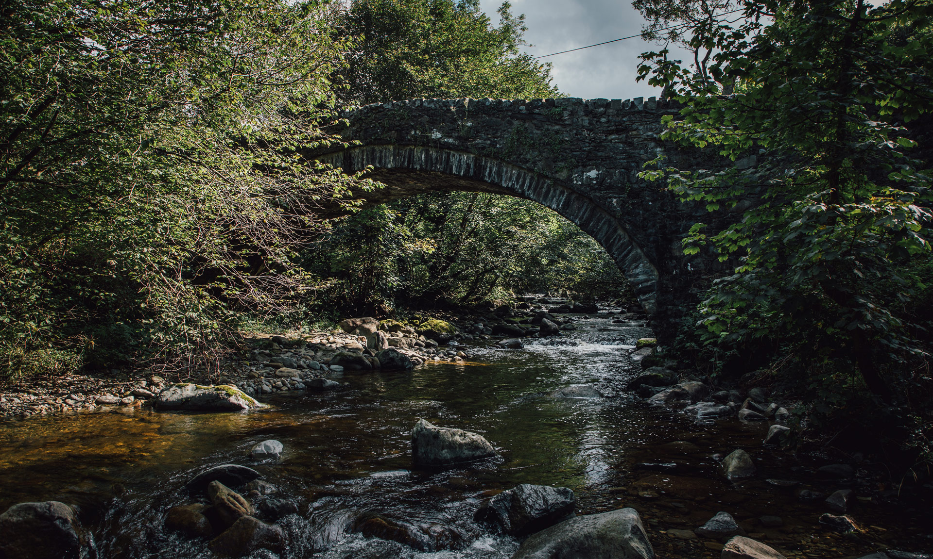
As you travel to the start of the route, you will cross a bridge known as Y Bontnewydd (The New Bridge). Despite its name, this bridge dates back to 1822—Ordnance Survey maps from this period mark its existence. The bridge was used by drovers many years ago. Drovers were responsible for driving cattle and sheep from the Welsh countryside to the markets of England. Their work meant driving herds of animals over hundreds of miles of Snowdonia’s landscape. Evidence of drover roads is strewn across the National Park’s landscape.
At the foot of the falls, you will come across a bridge. The Wales Coastal Path crosses this bridge. This path is an 870-mile uninterrupted route along the whole of the Welsh coast. Wales is the only country in the world to have such a route.