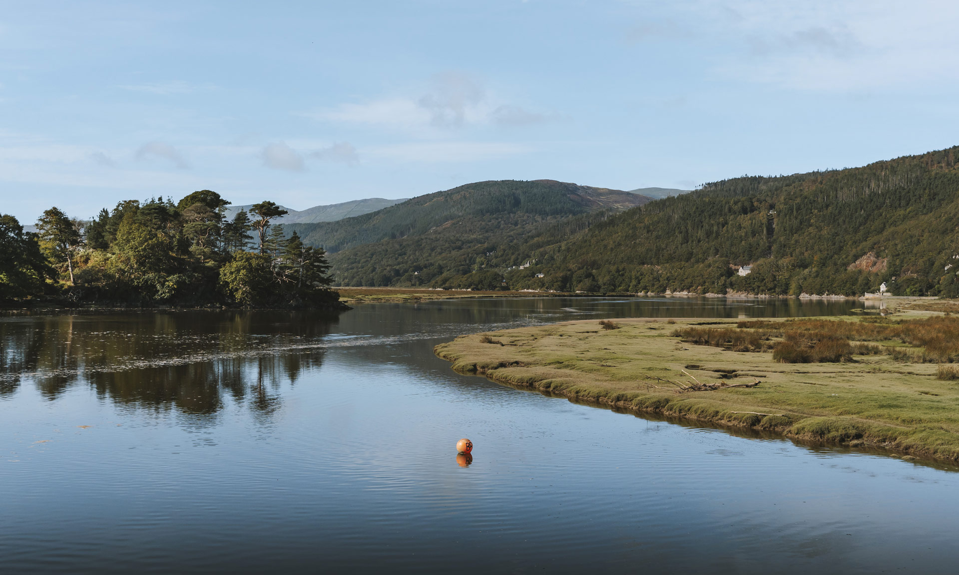
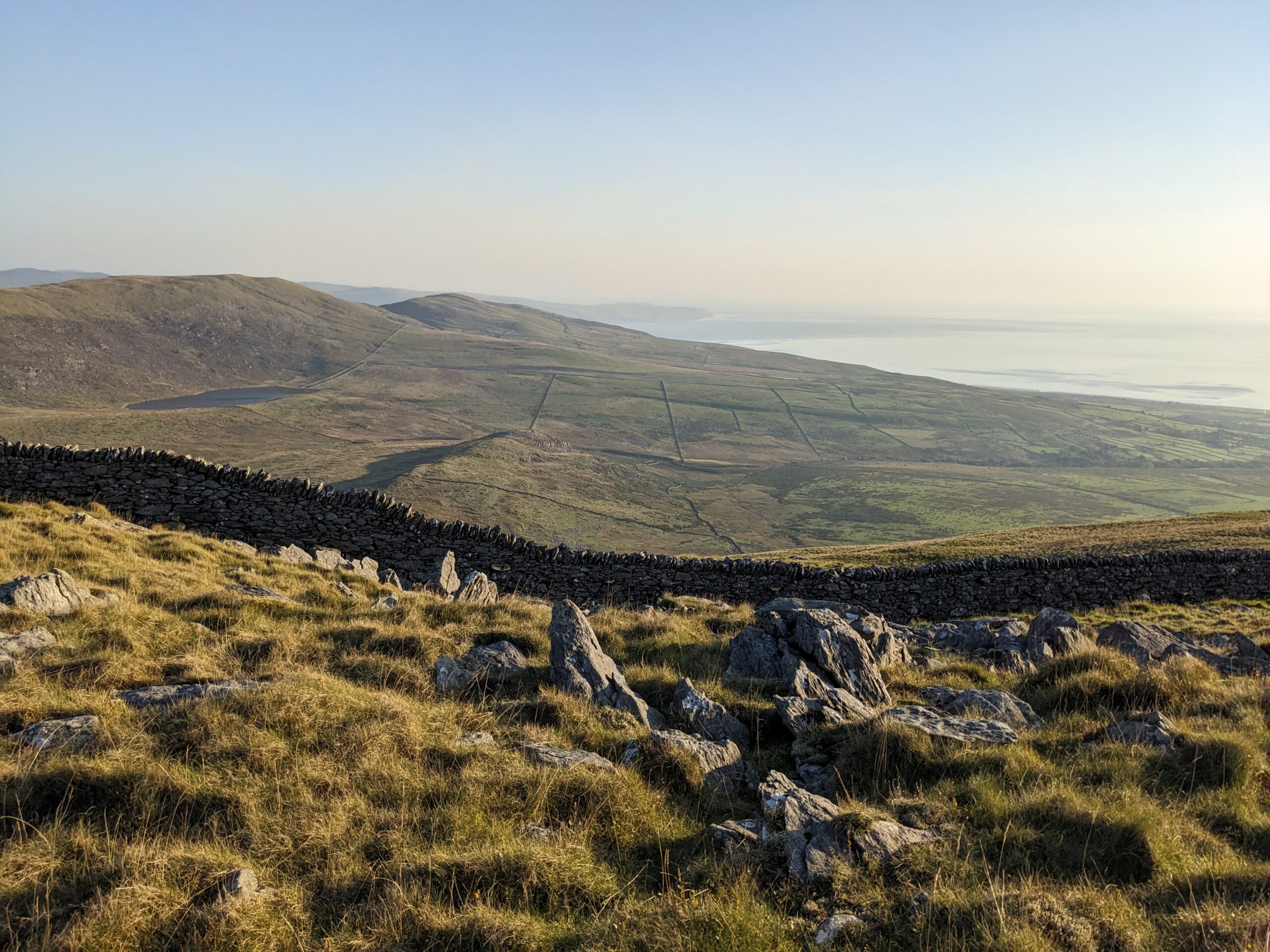
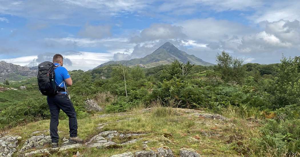
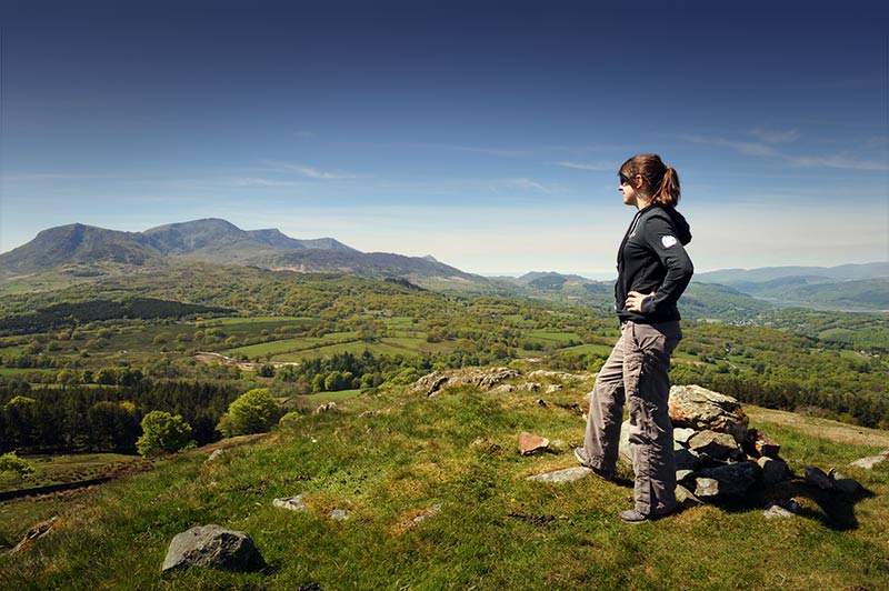
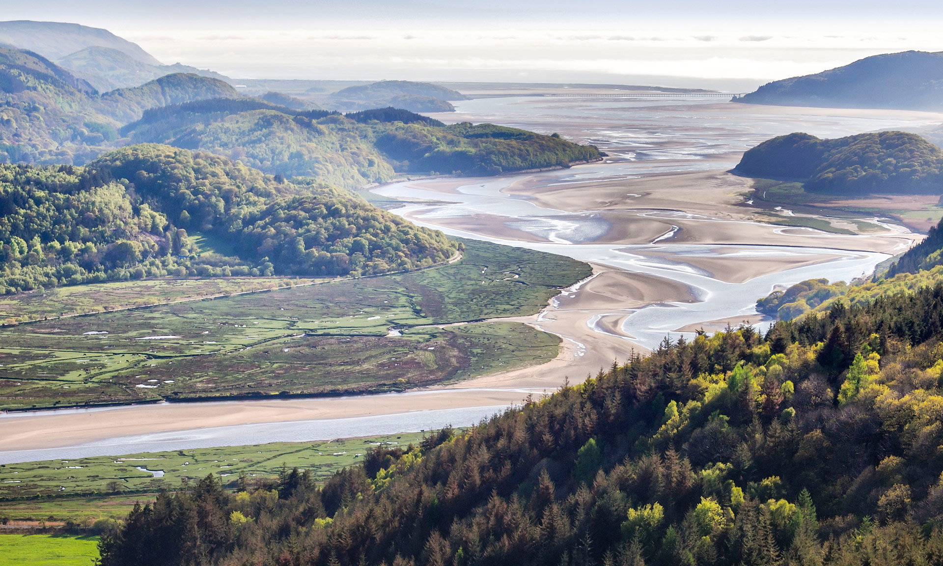
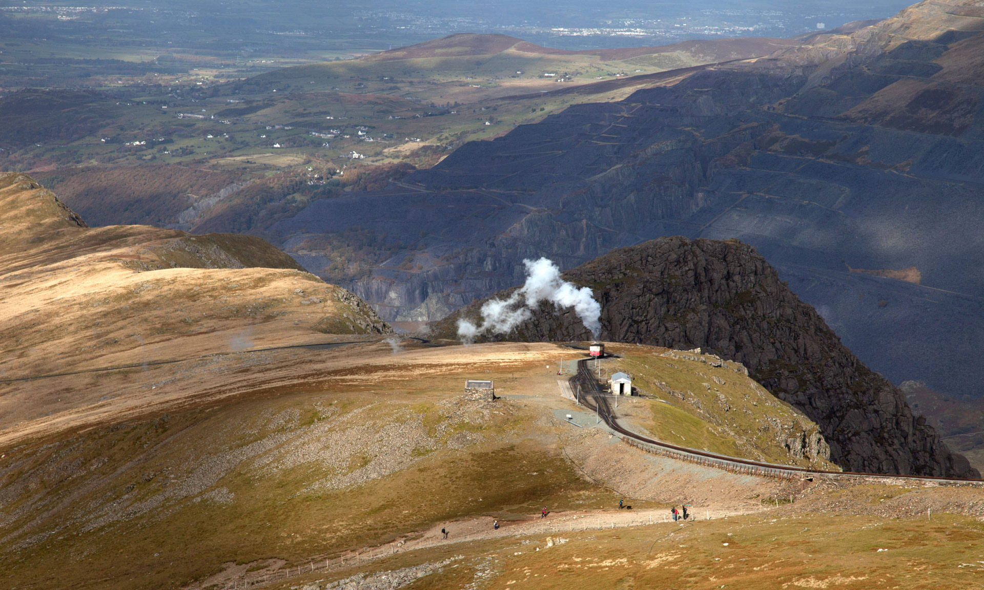
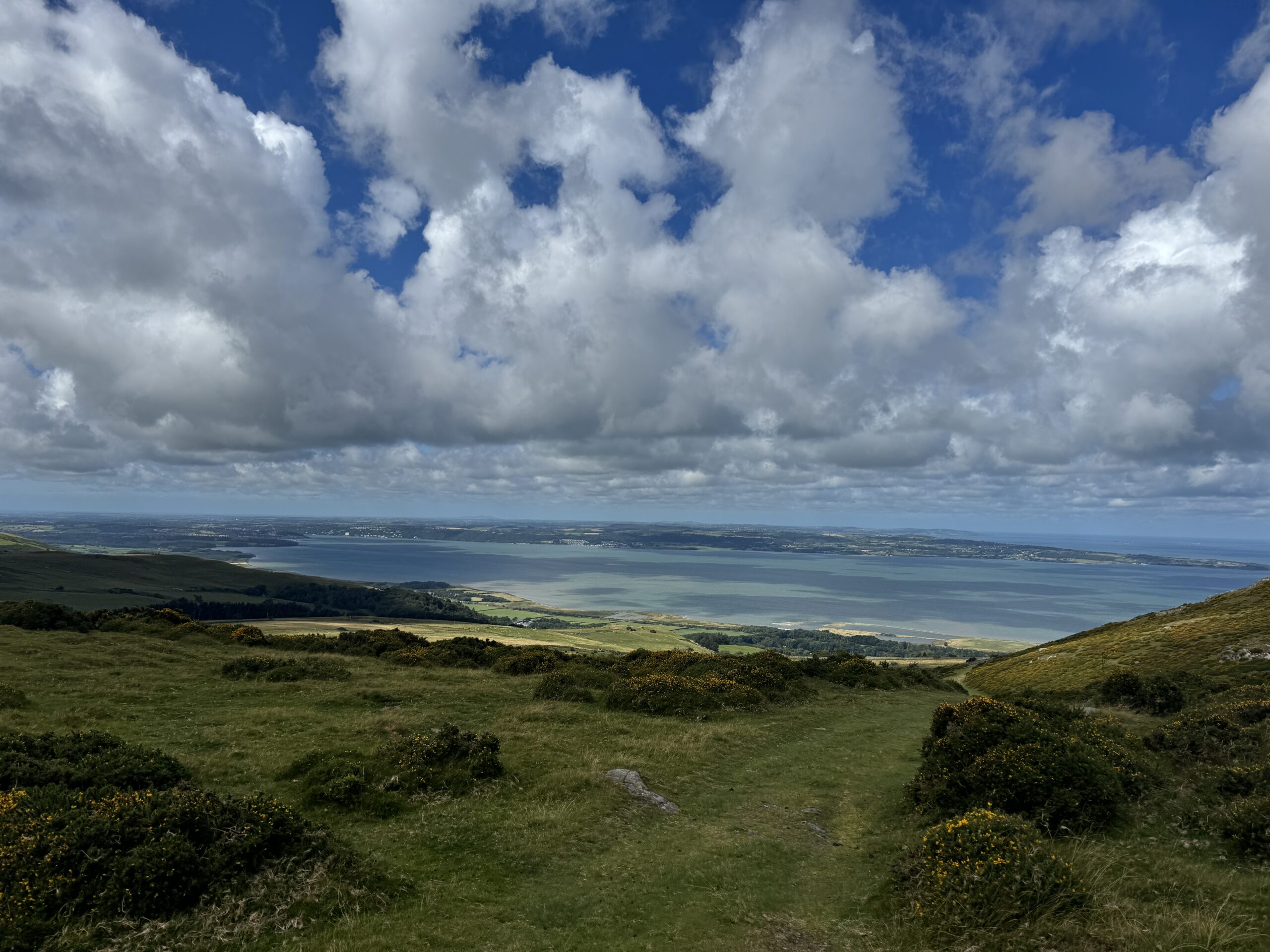
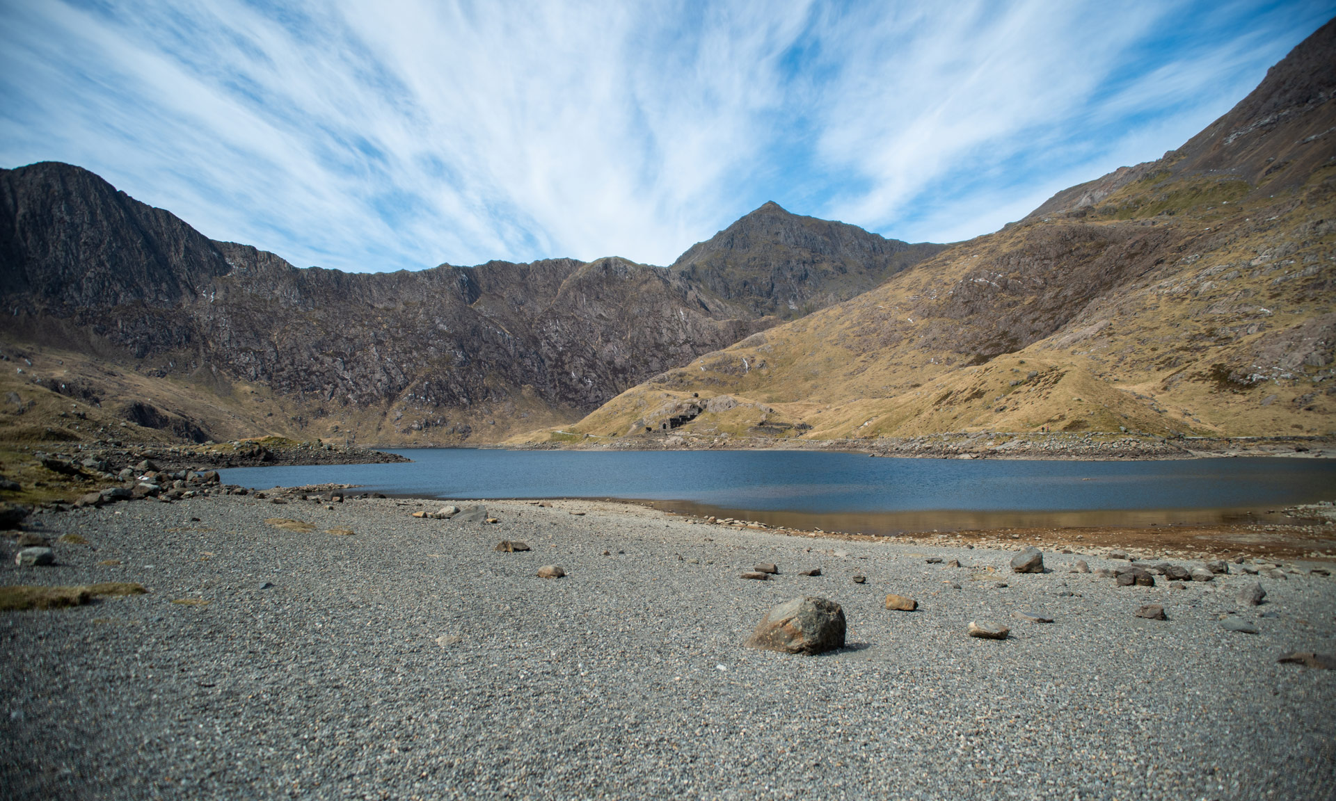
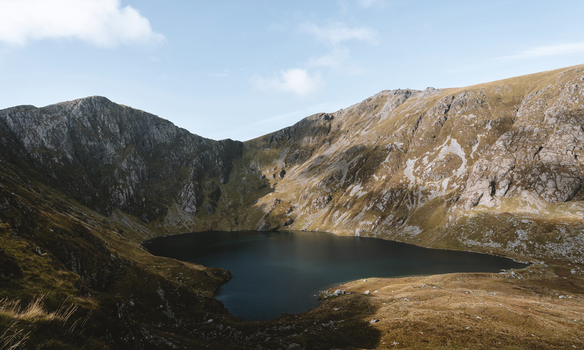
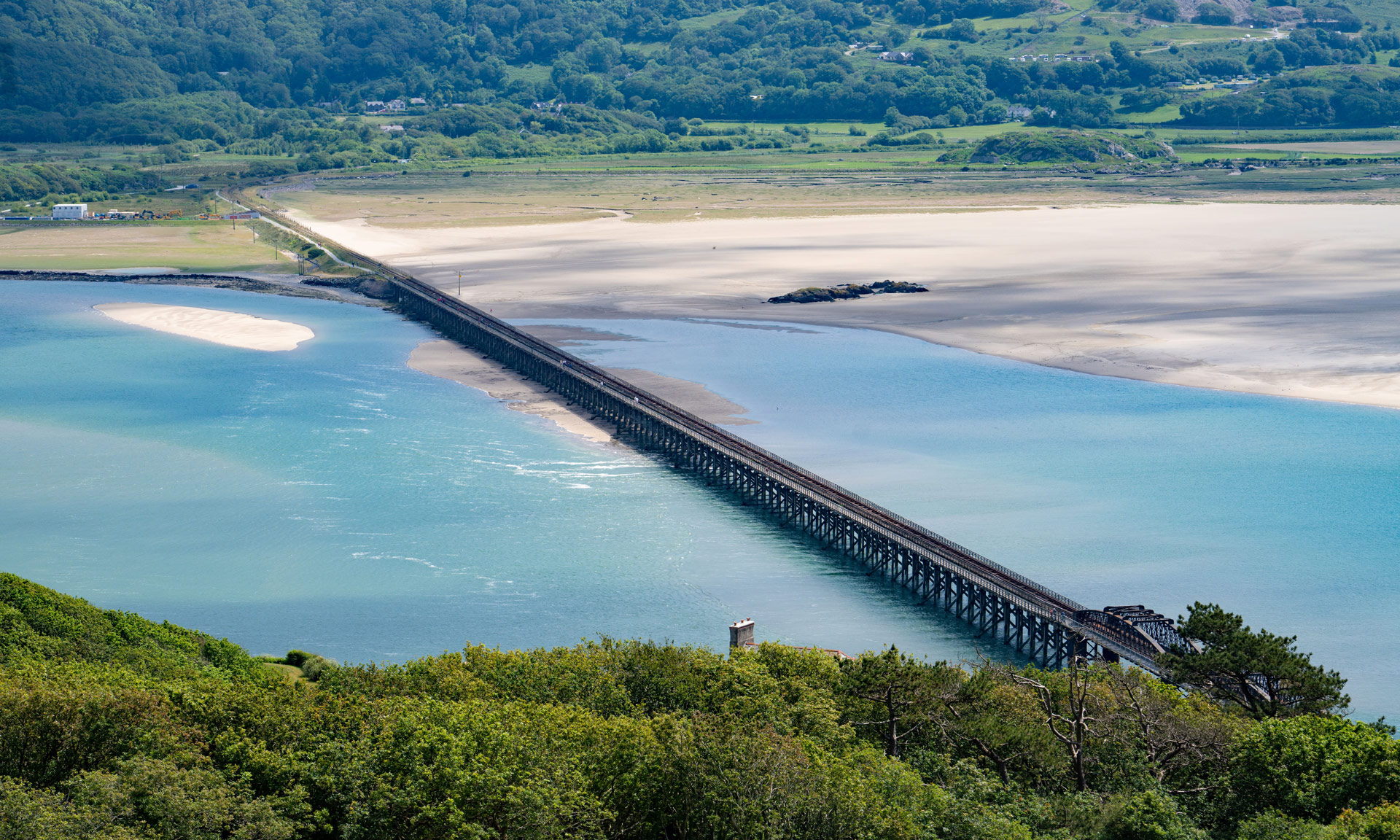
The best way to experience what makes Eryri so special is to explore the miles of paths and walks all across the landscape.

The National Park Authority has 1,497 miles of approved paths that provide the best opportunities to fully immerse yourself in some of Eryri’s unique qualities.

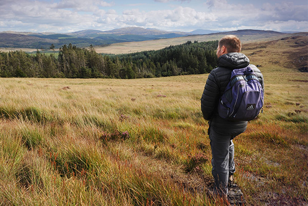
Walking in Eryri has many other benefits, including improving our physical health and mental well-being.

Make sure you familiarise yourself with the various types of paths before starting your journey by reading information on Route Grading.

Filter results
Location
Difficulty
Duration
Surroundings
Route type
Special Qualities
Accessible routes
Arthog Falls & Cregennan Lakes
Moderate
Circular route 13.7 km 4 Hrs
A moderate route through ancient woodlands, past majestic lakes and along the Mawddach Estuary.
Bwlch Drws Ardudwy
Bwlch Drws Ardudwy
Moderate
Circular route 7 km 2 Hrs
A walk to the foothills of the Rhinog mountain range.
Craig y Fron
Craig y Fron
Leisurely
Circular route 4.5 km 1.5 Hrs
A leisurely walk above the northern hills of Y Bala.
Croesor Circular
Croesor Circular
Moderate
Circular route 5.5 km 3 Hrs
This circular walk begins in the remote upland village of Croesor, situated at the foothills of Cnicht.
Foel Caerynwch
Foel Caerynwch
Moderate
Circular route 3 km 1.5 Hrs
A circular route to the summit of Foel Caerynwch on the outskirts of Dolgellau.
Foel Ispri Path
Foel Ispri Path
Access for All
There and back again 0.3 km 0.25 Hrs
A short, accessible path to one of the best views of the Mawddach Estuary.
Llanberis Path
Llanberis Path
Hard/Strenuous
There and back again 14.5 km 7 Hrs
The most popular route to Eryri's iconic summit.
Protected: Llanfairfechan Upland Walk
Moderate
Cylchdaith 7 km 4 Hrs
A circular upland route from the edge of Llanfairfechan, rising across heath and moorland to viewpoints overlooking the Carneddau, Menai Strait and the North Wales coast. The walk passes archaeological sites dating back to the Stone Age, offering a blend of dramatic scenery and ancient history.
Llanfihangel y Pennant
Hard/Strenuous
There and back again 16 km 7 Hrs
One of two routes to the summit of Cader Idris along its southern slopes.
Miners’ Track
Miners’ Track
Hard/Strenuous
There and back again 13 km 6 Hrs
A steep and rocky route to the summit of Yr Wyddfa beginning from Pen y Pass.
Minffordd Path
Minffordd Path
Hard/Strenuous
There and back again 9 km 6 Hrs
One of two paths up the southern slopes of Cader Idris.
Panorama Walk
Panorama Walk
Hard/Strenuous
Circular route 6.5 km 3 Hrs
One of the many rich and varied walks situated along the Mawddach Estuary.
Map View